GPS and Earthquake Early Warning

What makes for an effective earthquake early warning system? With seismic data alone, we cannot determine the magnitude and rupture area of great earthquakes as quickly and effectively as we can with the addition of GPS data. In this animation, we see why Japan’s earthquake early warning system underestimated the magnitude of the March 11, 2011 Tōhoku event, leading to underestimates of the earthquake’s effects. Can we more effectively detect and describe a similar great earthquake along the Cascadia subduction zone by using GPS data from EarthScope’s Plate Boundary Observatory?

This video was produced as a collaboration of EarthScope, UNAVCO, CEETEP, and IRIS.

www.earthscope.org, www.unavco.org, ceetep.oregonstate.edu, www.iris.edu

Animation by Jenda Johnson
Directed by Robert Butler, University of Portland
Narrated by Roger Groom, Mount Tabor Middle School

Are you sure you want to delete this "resource"?
This item will be deleted immediately. You cannot undo this action.

Related Resources

Case Study
19 Dec 2014
Nepal is ranked the eleventh most at risk country with regard to earthquakes, and the thirtieth with respect to floods. The communities also suffered from other disasters such as fires, windstorm, thunderstorms and landslides. Having implemented sinc...
Tags: Case Study, Urban Risk Reduction
Case Study
02 Jan 2019
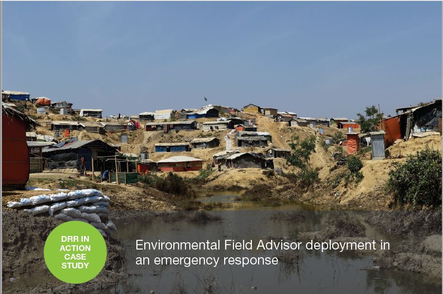
After a massive influx of refugees from Myanmar into Cox’s Bazar district, Bangladesh, an Environmental Field Advisor (EFA) has been deployed to help cope with the environmental impact and ensure emergency response activities do not further exa...
Tags: Case Study, Post-Disaster Recovery, Resilience and Disaster Risk Management, Water, Sanitation & Hygiene (WASH)
Report
22 Sep 2017
“The Apulia Region ‘SINAPSI’ System and the European FP7 ‘C2SENSE’ Project”presented September 21, 2017by Marianna Cavone
Tags: Report, Early Warning Systems
Scroll to Top