GIS Use Cases

American Red Cross International Services Department (ISD) has piloted and refined applications of Geographic Information Systems (GIS) to its core programming and response activities. In this time, we’ve found that the best tools and the most effcetive approaches meant little without strong relationships with our program staff rooted in their day-to-day realities of program management and national society engagement.

The use cases that follow capture our thoughts on some of the most common or important ways GIS can help our work. Each use case shows how a specific application of GIS can assist a given program or national society and what the ideal process is to make it happen. Some of these use cases overlap or integrate with one another; others are standalone.

Are you sure you want to delete this "resource"?
This item will be deleted immediately. You cannot undo this action.
File Name File Size Download
gis_final_use_cases.pdf

Related Resources

Research
12 Mar 2018
As part of ALNAP’s Learning from the Ebola Response in cities, this paper describes approaches toquarantine in urban Guinea, Liberia and Sierra Leone. It focuses in particular on how humanitariansnavigated the context of urban quarantine, what ...
Tags: Research, Communicable Disease, Communication As Aid, Urban Risk Reduction
Awareness material, Guidance material, Manual, Training material
06 Mar 2021
تحتوي مجموعة الأدوات على مقدمة خفيفة عن المفاهيم الحضرية، تليها سلسلة من ست وحدات حول ما يلي: التواصل الإبداعي، والحلول القائمة على الطب...
Tags: Awareness material, Guidance material, Manual, Training material, Urban Preparedness, Urban Risk Reduction
Guidance material
28 Jul 2017
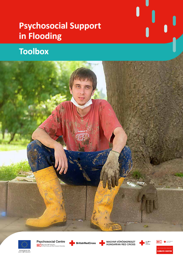
Psychosocial Support in Flooding: Toolbox accompanies Key Actions for Psychosocial Support in Flooding: Creating resilience in urban areas. The toolbox provides and overview of available tools that are relevant for psychosocial support in flooding s...
Tags: Guidance material, Flood, Mental Health and Psychosocial Support
Scroll to Top