 Filter
Research
Significant number of disaster risk reduction projects is implemented around the world. Each of these projects can provide guidelines for future projects and can be adopted by other communities if their information is properly shared. These projects ...
Awareness material, Report
Crowdsourcing integrated with crisis maps has been a powerful tool in humanitarian assistance and disaster relief. Future crowdsourcing applications must provide capabilities to better manage unstructured messages and enhance streaming data. Enhancem...
Case Study
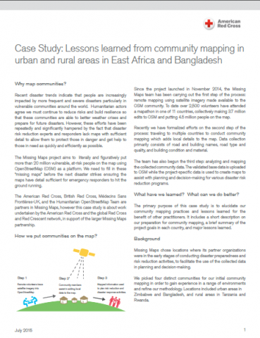
The Missing Maps project aims to literally and figuratively put more than 20 million vulnerable, at-risk people on the map using OpenStreetMap (OSM) as a platform. We need to fill in these “missing maps” before the next disaster strikes ensuring ...
Video
Josh Campbell from the Humanitarian Information Unit at the US Department of State, discusses building a framework to support sharing high-resolution satellite imagery with the volunteer technical community, for improved disaster response and develop...
Video
Kate Chapman from the Humanitarian Open Street Map Team (HOT) discusses mapping an entire country into OpenStreetMap for disaster preparedness.
Video
Dale Kunce, Senior Geospatial Engineer at the American Red Cross, discusses groundtruthing Open Street Map during disaster response.
Research
The growing availability and use of social media and other mass collaboration technologies present new opportunities and challenges for disaster management. Platforms now exist that permit collection of data from broad constituencies and rapid commun...
Report
Increasing numbers of children around the world are affected by humanitarian emergencies and there is an urgent need for innovative, scalable, cost-effective approaches to tackling these crises. Alongside this, digital technology is spreading rapidly...
Report
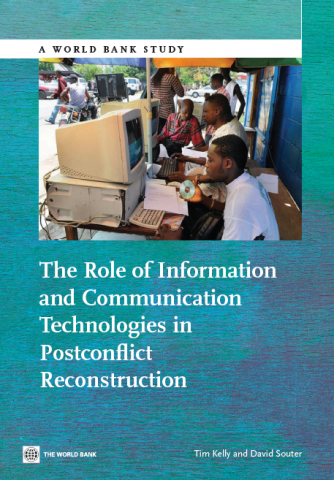
This report is concerned with the relationship between information and communication technologies (ICTs) and postconflict reconstruction, especially with ways in which ICTs can be used by governments and donors to support the transition from violence...
Guidance material
American Red Cross International Services Department (ISD) has piloted and refined applications of Geographic Information Systems (GIS) to its core programming and response activities. In this time, we’ve found that the best tools and the most effc...